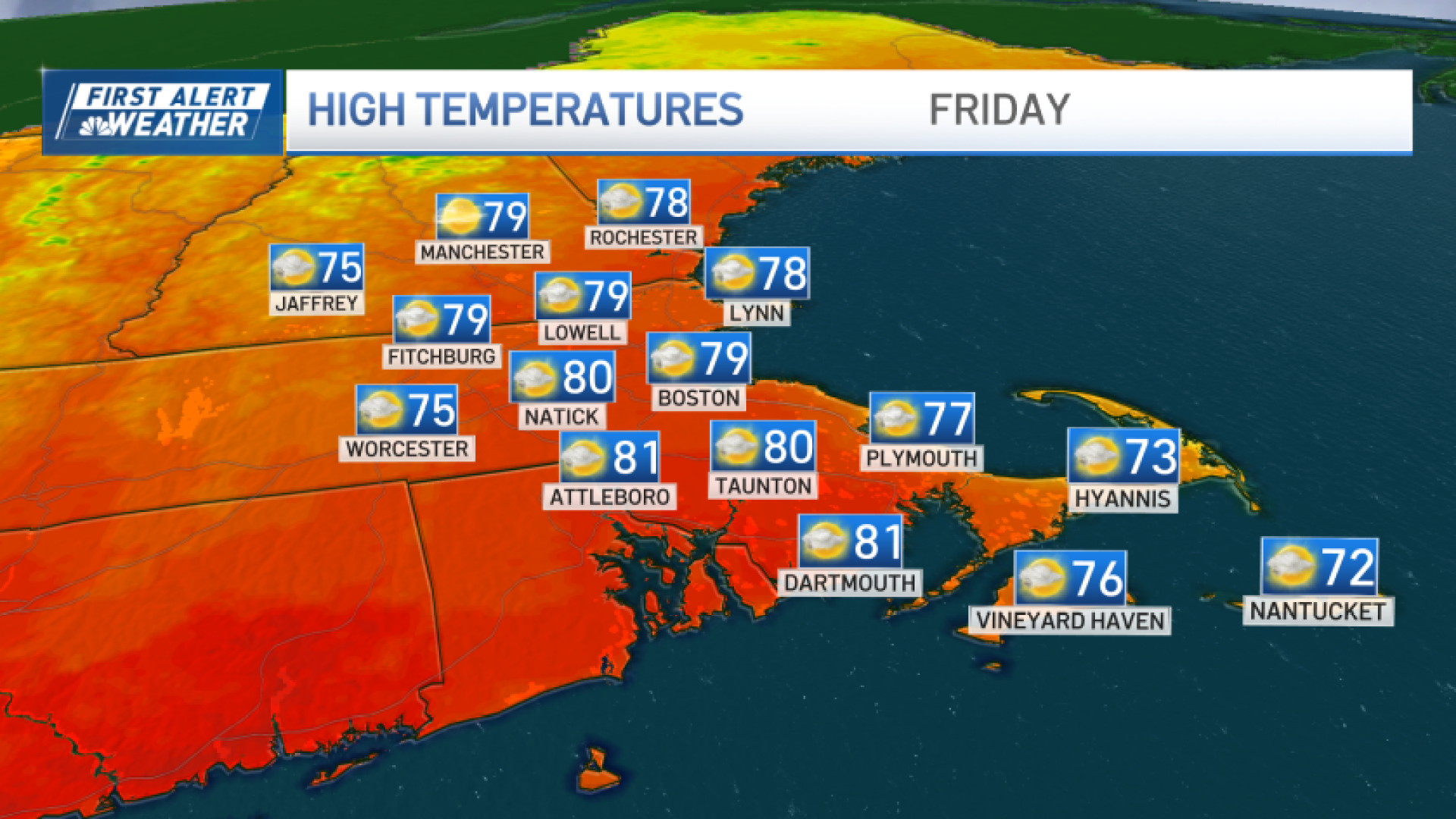
This will be the final day of the summery warmth – perhaps not for the season, but certainly for the next 7-10 days.
Highs again reach near 80, with a steady northwest wind that will drive out the humidity by afternoon.
This will set up a clear, cool night that will drop temperatures into the 40s and 50s by Saturday morning.
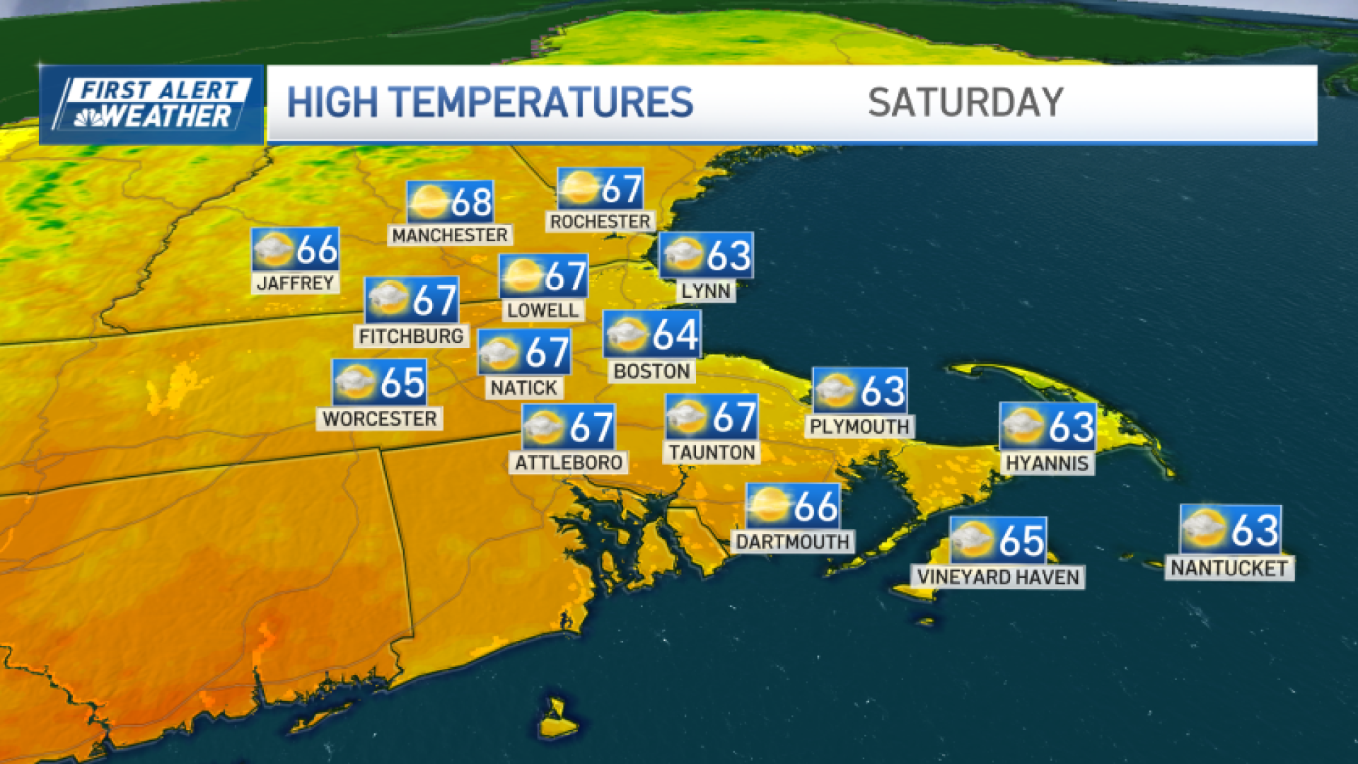
Despite the chilly start, we still manage to make Saturday the pick of the weekend. Highs lumber into the low and mid-60s with a light sea breeze along the coast.
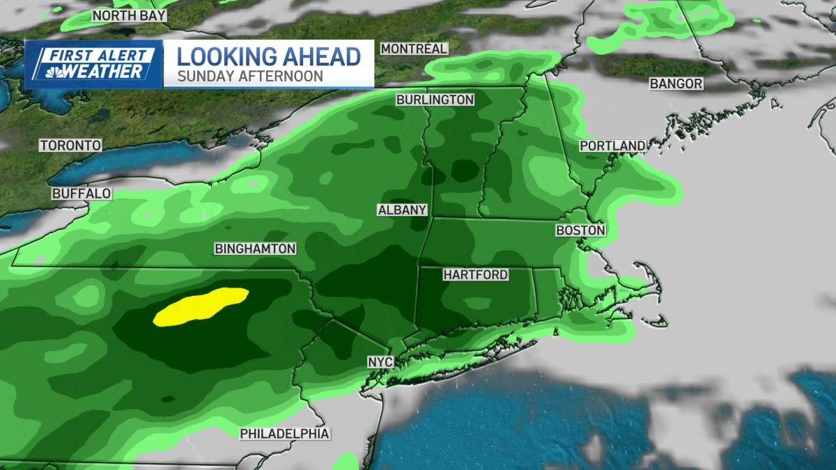
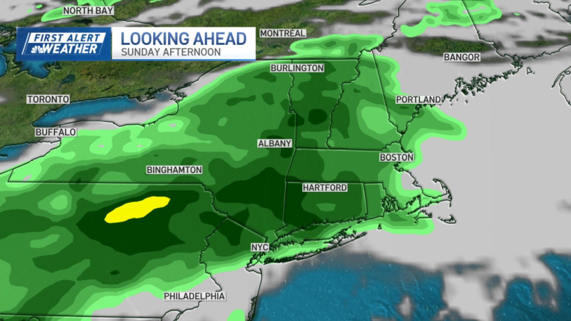
Then it’s on to the rain for Sunday.
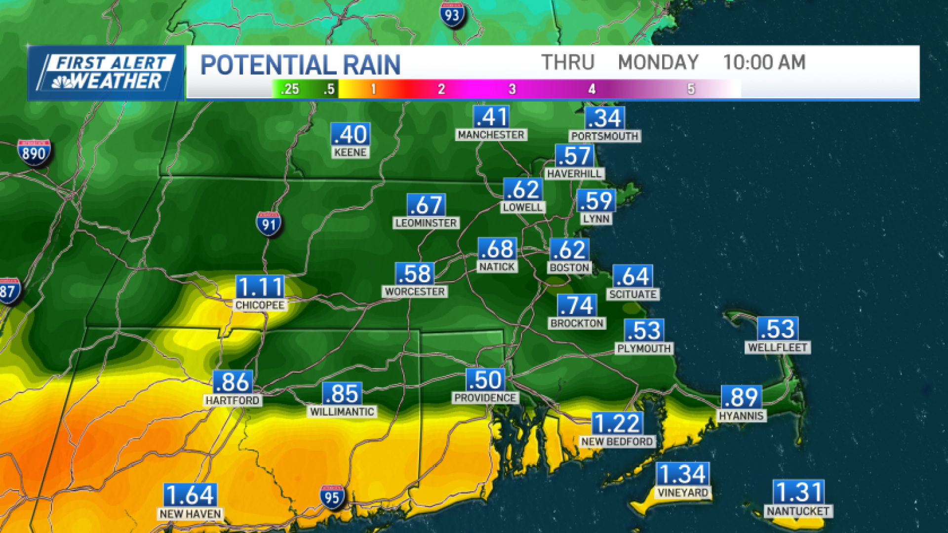
Despite what your app may show (rain icon for the day), it’s not entirely washed out. The first half is dry before the showers set in for good in the afternoon.

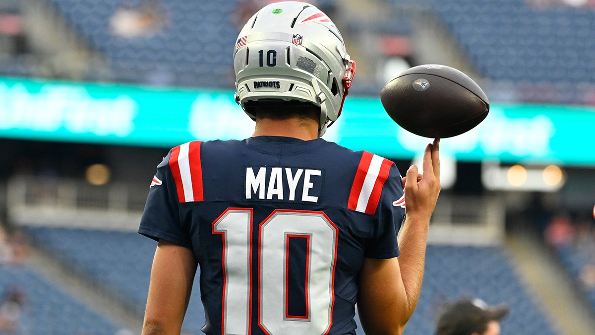
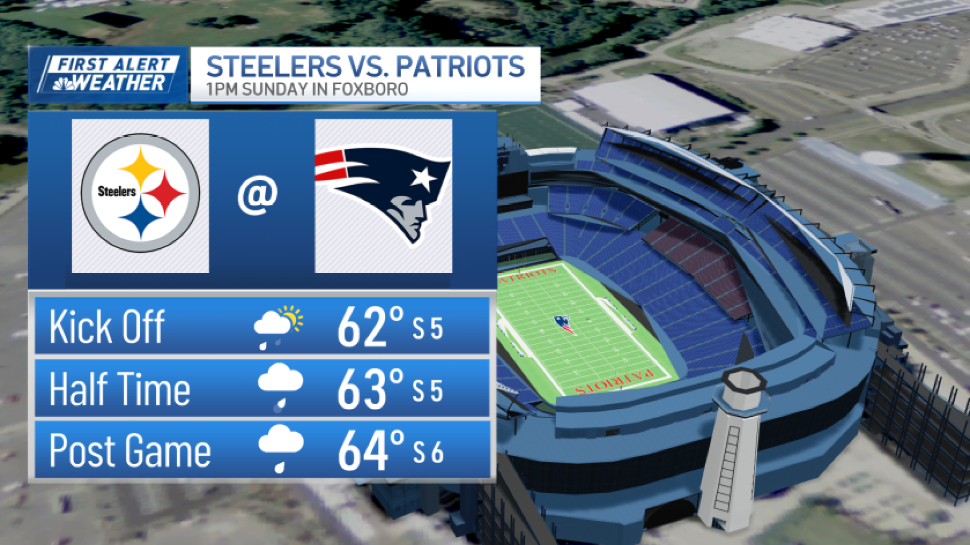
That means tailgating for the Patriots may be fine, but the game is likely wet. This isn’t a driving rain with a gusty wind however, it’s the steady, light kind. Nonetheless, it’s cool and damp with temps in the low 60s.
Some showers will linger into Monday morning, then we’ll try and dry things out in the afternoon.
Next week features a turn in the pattern. We’re much cooler, we’re frequently cloudy, and there will be some weak, isolated sprinkles that try to flare up through midweek.
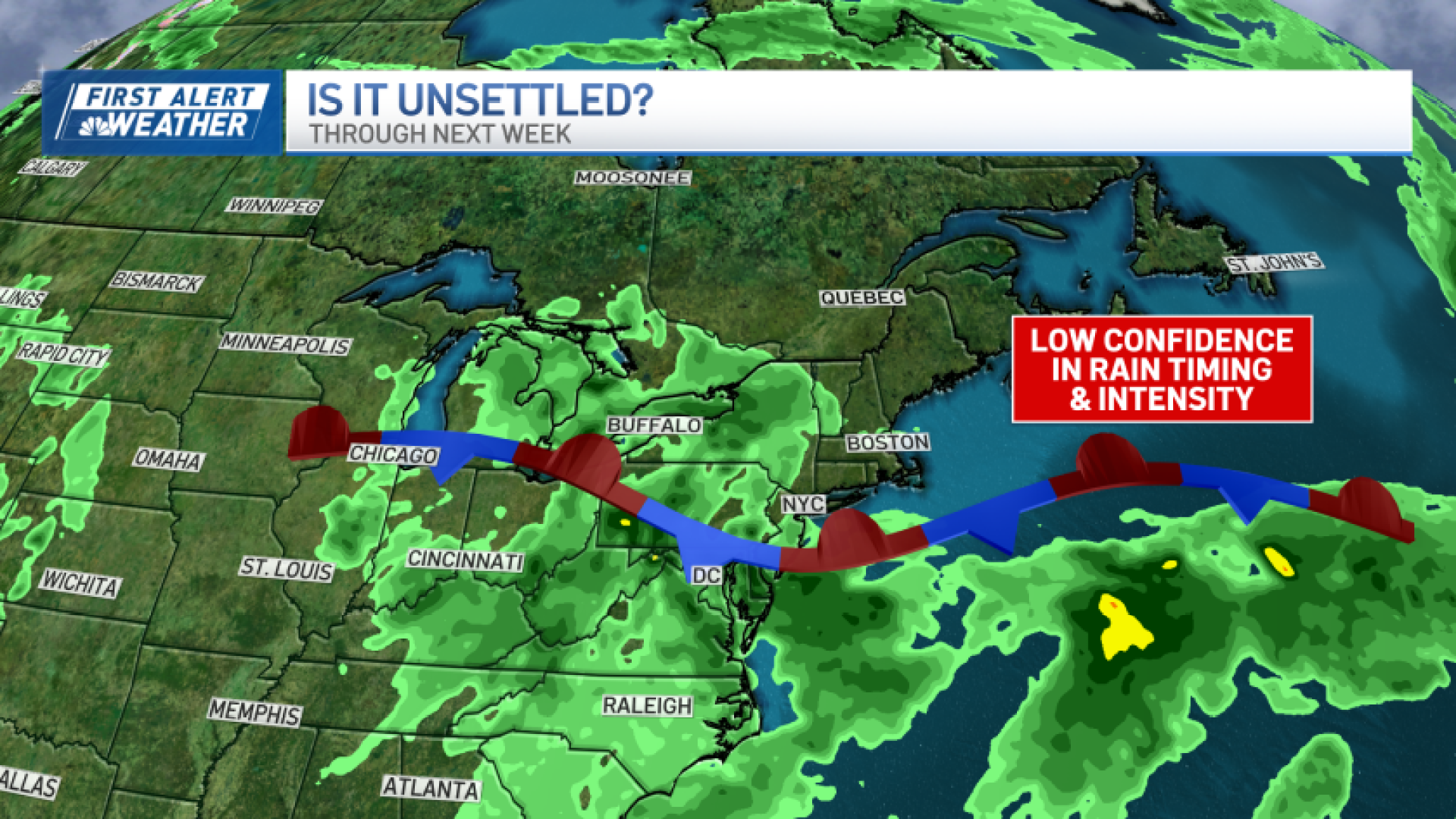
Toward the end of the week, model guidance is suggesting a storm will develop to our south, and depending on the track, it could bring in stronger winds and a heavier rain. We’ll follow this new trend in the coming days.
Have a great weekend and go Pats!